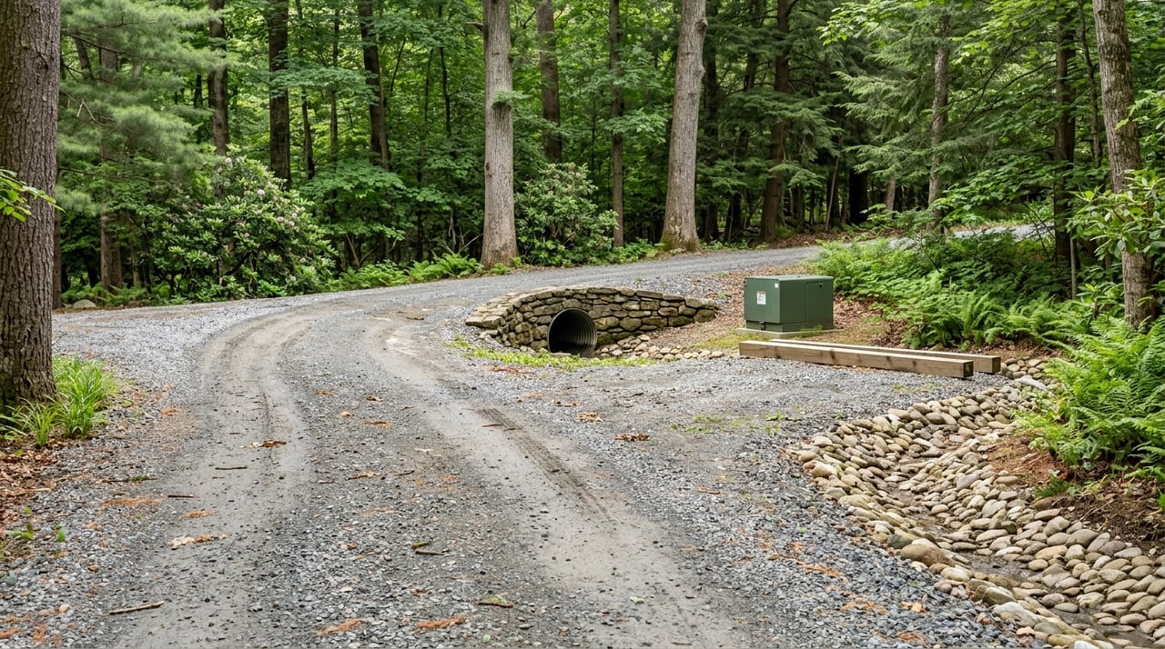
Buying Land And Acreage Near Hendersonville
June 18, 2026
June 18, 2026
Buying land near Hendersonville can feel exciting right up until the questions start piling up. Can you legally access it? Can you build on it? Will it need a well, septic, or a driveway permit? If you are looking at acreage in this part of Western North Carolina, the smartest move is to treat due diligence as the real first showing. Let’s dive in.
When you buy a house, many of the basics are already in place. With land, you often need to confirm those basics yourself before you close.
Near Hendersonville, that means looking beyond price per acre and focusing on buildability, legal access, utilities, drainage, and permits. A parcel can look great online and still turn out to be costly or difficult to improve if those pieces do not line up.
The first step is not the listing sheet. It is the parcel record.
In Henderson County, GIS mapping is a helpful screening tool for zoning and parcel layout, but the county makes clear that GIS is not a substitute for a survey or for recorded deeds and plats. GIS data are updated regularly, but they are not live and do not meet survey accuracy standards.
That is why your first buildability screen should include the recorded deed, plat, and any easements or rights of way. Those documents can help you verify what you are actually buying and whether the land has the access and legal framework you expect.
Before you make assumptions about what can be built, confirm where the parcel falls. Land near Hendersonville may be inside the City of Hendersonville, within the city’s extraterritorial jurisdiction, or in unincorporated Henderson County.
That matters because the review process can change by jurisdiction. City parcels and parcels in the city’s ETJ may go through the City of Hendersonville Planning & Zoning process for items like zoning verification, site plans, subdivision review, variances, special use permits, and floodplain permits.
Online maps are useful for an early look at zoning, terrain, and nearby features. They can help you narrow your search and flag possible concerns before you spend money on deeper due diligence.
Still, online mapping should be treated as a starting point only. If a property line, easement location, access point, or build site matters to your decision, compare GIS with the recorded documents and a current survey.
One of the biggest surprises with acreage is access. A parcel may appear to touch a road, but that does not always mean access is simple, legal, or ready for a homesite.
If access will be taken from or changed on the State Highway System, the North Carolina Department of Transportation says a driveway permit is required. Its guidance also says there is no application fee, but timing, design, and site conditions can still affect your plans.
Acreage buyers often assume utility questions can wait until later. In reality, they should be addressed early.
If public water and sewer are available, the City of Hendersonville has a utility extension process. The city states that extensions are privately funded by the developer’s contractor under city inspection, and once accepted, the city takes ownership and maintenance. That means extension cost and feasibility should be confirmed before closing, not after.
If public service is not available, you may be looking at a private well and septic system. That adds another layer of research and timing to your due diligence.
In Henderson County, private wells are regulated through the county health department. A well permit is required before drilling a new well, repairing an existing well, or abandoning a well.
For older tracts, permit research matters. Henderson County has online septic and well permit search tools, including a legacy archive for 1968 through 2004 and a public portal for 2004 to the present. The county also notes that well permits started in 1991, which is important when you are researching older acreage.
North Carolina also requires all newly constructed private wells to be tested before they are used as a drinking water source. For buyers, that makes water quality part of the due diligence timeline.
If a parcel will rely on septic, septic feasibility is one of the most important early questions. State guidance says the local health department must investigate each proposed septic site.
In practical terms, that means not every pretty clearing or ridge line is automatically a workable homesite. Soil conditions, layout, and system requirements all come into play.
Some properties are also required to have a repair or replacement area. That area should be protected from excavation, grading, building, and other disturbance. If a tract has an older septic system or prior approval, the septic permit and soil evaluation sheet may help show the system size, components, and approximate location.
Mountain land can be beautiful, but terrain is not just a lifestyle feature. It is a buildability factor.
Henderson County maintains landslide mapping data and advisory flood data. The county also notes that recent flooding can create meaningful flood risk outside traditional regulatory floodplain boundaries, which is especially important when you are evaluating creek frontage, low areas, or sloped sites.
Floodplain rules also vary by jurisdiction. In unincorporated Henderson County, a Floodplain Development Permit is required for new development in a Special Flood Hazard Area. The application must show items like grading, drainage facilities, utilities, elevations, and the flood hazard boundary. The City of Hendersonville has its own floodplain management program and ordinance, so city and ETJ parcels should be checked separately.
Some acreage has environmental or site-development overlays that can affect what you build and how you build it. These are easy to miss if you only focus on list price and views.
Henderson County’s Water Supply Watershed program applies to portions of unincorporated Henderson County and Laurel Park. The program is designed to protect surface waters from stormwater pollutants and runoff, and it can affect grading, impervious surface, and stormwater design.
The county’s erosion-control local program covers the City of Hendersonville, Laurel Park, Fletcher, and Flat Rock. If your project involves one acre or more of land disturbance, soil erosion and sediment control requirements and NPDES construction requirements are triggered on the plans.
A great way to judge whether a tract is truly ready for your plans is to review what the county requires for a new single-family home permit. Henderson County’s checklist includes several downstream items that can affect vacant land.
These may include:
This checklist is helpful because it reflects the real-world path from raw land to approved homesite. If several of those items look uncertain, that is worth knowing before you buy.
Buying acreage usually calls for more than a standard home inspection. Depending on the tract, you may need a land surveyor, civil engineer, septic professional, or well contractor.
Henderson County’s floodplain resources point buyers toward professional listings for civil engineers, landscape architects, and land surveyors. For septic work, North Carolina uses certified onsite wastewater contractors and inspectors, and the county’s well resources point buyers toward certified well contractors.
The right professionals can help you answer the most important question with land: not just can you buy it, but can you use it the way you want to use it.
If you are buying land near Hendersonville, this order of operations can help you stay grounded:
The safest approach is to evaluate land from the outside in. Start with jurisdiction, then move to access, utilities, soils and drainage, and finally the permit path.
That sequence can help you avoid buying a tract that looks promising online but becomes expensive or impractical once the real details come into focus. It also gives you a clearer picture of value, which is especially important with mountain land where no two parcels are exactly alike.
If you are considering land or acreage near Hendersonville, having a responsive guide can make the process much smoother. The team at Aaron Chapman helps buyers navigate Western North Carolina property decisions with clear communication, practical local insight, and a steady approach from first questions to closing.
Stay up to date on the latest real estate trends.
We'd love to hear from you! Whether you're buying, selling, or just exploring your options, we're here to provide answers, insights, and the support you need. Contact us and start planning your next move.